University extensions in both Idaho and Montana are experimenting with various varieties of berries in an effort to determine which berries, if any, can be grown successfully at a commercial scale in the Intermountain West. Extension research primarily aimed at answering questions of which plant cultivars are going to do well and fit their markets helps landowners potentially increase their likelihood of success.
MT & WY PROGRAM DEADLINES FOR NRCS ACEP FUNDING
The USDA's Natural Resource Conservation Service (NRCS) is accepting applications under the Agricultural Conservation Easements Program (ACEP) for the Agricultural Land Easement (ALE) and the Wetland Reserve Easements (WRE) programs. The deadline for funding in Montana is March 1, 2018. The announced cut-off date for funding consideration in Wyoming is January 26, 2018.
CHANNEL MIGRATION EASEMENTS IN MONTANA
Montana Aquatic Resource Services recently released a white paper on Channel Migration Easements (CME). A specific form of conservation easement, a CME allows a landowner to continue to use their land while allowing the river to migrate across the floodplain within the easement boundaries. So far MARS has worked with conservation partners and thoughtful landowners to close Montana's first two channel migration easements (CMEs).
SEASONAL MONTANA TWO DOT DINNER
Agriculture plays a pivot role in the economy and culture of Montana. Together companies like Seasonal Montana and Two Dot Land and Livestock, which intentionally and tirelessly work to connect folks throughout the state to the landscape, strengthen the connection of people and place.
2017 FARM LAND VALUES ACROSS THE INTERMOUNTAIN WEST
Nationwide, farm real estate values average $3,080 per acre in 2017, up $70 an acre or 2.3 % from 2016. The Mountain region has the lowest farm real estate value at $1,130 per acre. The value of cropland in the same region increased 1.1% year-over-year to $1,780 and pasture land values rose 1.3% to $625 per acre in 2017.
AGRICULTURAL WATER USE IN GALLATIN VALLEY
Recently we visited the Gaffke Ranch in the Gallatin Valley. The most impactful part of the tour was not the low water component, but Mike's take on the changes to water availability. Mike seemed to be more concerned with the dissolution of community as a result of the decrease in agricultural water users than the water itself.
MONTANA HERITAGE ORCHARD PROGRAM
In Montana, Montana State University Extension is leading the charge to identify and preserve the heritage orchards that still exist through their Montana Heritage Orchard Program. The designation of Heritage Orchard gives landowners recognition, and helps preserve and propagate the unique fruit tree cultivars.
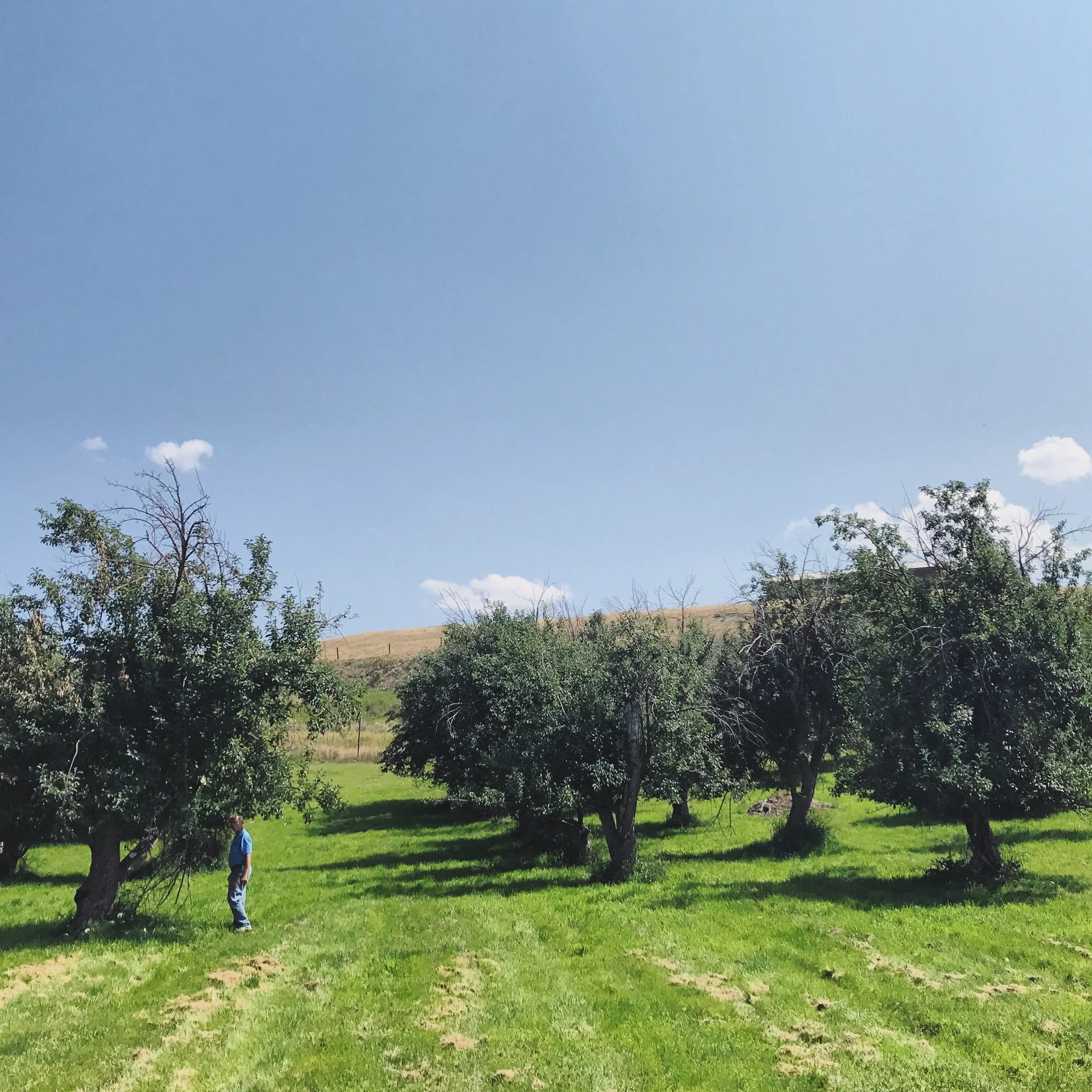
This summer we had the opportunity to tour one of Montana's Heritage Orchards. The Yellowstone Springs Ranch orchard is currently undergoing the process of genetic testing to determine and catalog the exact cultivars of trees.
NORTHWEST LAND VALUES FIRST HALF 2017
According to the latest release from Northwest Farm Credit Services, agricultural real estate values in Washington, Oregon, Idaho, and Montana, are stable and increasing through the first half of 2017. Despite weaker commodity prices and less than favorable weather patterns in parts of the northwest, the constrained supply of properties for sale has continued to stabilize land values.
PARK COUNTY MONTANA GROWTH
Park County has experienced meaningful growth over the last 45 years. The estimated 2016 population for Park County was 16,114 people, up 3.1% from the 2010 census figure, which equates to an average of 0.50% a year. Projections show that Park County will have a population of 17,800 people by 2036, adding 1,000 people per decade or approximately the same growth rate as from 2010 to 2016.
BITTER ROOT RC&D HAZARDOUS FUELS REDUCTION PROGRAM
The Bitter Root Resource Conservation & Development is combating the dangers of wildfire by reducing fuels through their fire mitigation program: the Hazardous Fuels Reduction Fuel Mitigation Grant Program. The program is a 50 / 50 cost-share in the form of a grant from the organization.
MARKET SNAPSHOT OF NORTHWEST AG PROPERTY LAND VALUES
Northwest Farm Credit Services releases a Market Snapshot of land values quarterly. Their latest issue details market trends through 2016. The decrease in number of sales in 2013 - 2015 reflects constraints in supply rather than weak demand.
Across the region, demand remains strong for working ranches and good-quality agricultural properties due to a strong demand for grass and a limited inventory of good-quality properties. As is typical in the market, properties with premier recreational features or locales with limited private ownership are in highest demand.
CENTRAL IDAHO RANGELANDS NETWORK
As part of their devotion to "the inextricable link between the public lands surrounding our private working lands", the Lemhi Land Trust joined forces with The Nature Conservancy and Pioneer Mountain Group to create the Central Idaho Rangelands Network to encourage collaboration and rangeland monitoring across a large landscape with diverse public and private ownership in Central Idaho.
RANCHERS DISCUSS COLLABORATIVE APPROACH TO ADAPTING TO CHANGE
RLI LAND MARKET SURVEY
Across the entire United States, during the reference period (2015-2016), the dollar volume of land sales increased the most for timber land at 5% and residential land at 4%. Agricultural irrigated land sales fell by 1%, and non-irrigated land sales by dollar volume decreased by 2%, likely due to slump in commodity prices, according to the Land Market Survey released annually by the REALTORS® Land Institute and the National Association of REALTORS®.
ADDITIONAL REVENUE STREAM FOR RANCHERS
National agriculture industry consulting and CPA firm K-Coe Isom recently announced a new program aimed to help ranchers generate revenue from conservation projects while simultaneously reducing the rancher’s inherent risk of testing and implementing such projects. Funded by the USDA Natural Resource Conservation Service (NRCS), the program is specific to ranchers whose property is located in priority sage grouse habitat or crucial mule deer winter range or designated mule deer migration corridors within Montana, Colorado, Wyoming, Idaho, Utah, Nevada, or California.
KIDDING AROUND AT FARM 51
Just outside of Bozeman in Kelly Canyon, Jennifer and Chris Boyer raise boer and nubian goats on Farm 51. They provide sustainably-raised goat meat to restaurants in Bozeman and to consumers through the local Community Co-op. Farm 51 has grown organically from a hobby to a business for the Boyers.
BOZEMAN R/UDAT NORTHEAST NEIGHBORHOOD DISTRICT
Bozeman is one of three communities nationally that has been chosen for the American Institute of Architects (AIA) Regional / Urban Design Assistance Team (R/UDAT) project. The focus area for the Bozeman R/UDAT is the Northeast Neighborhood District. Within the area within the orange R/UDAT study boundary, 70% of land has potential for redevelopment in the next ten years. In addition, Montana Department of Transportation (MDOT) is spending $40M to redo and upgrade the Rouse corridor.
ON THE SHOULDERS OF GIANTS
On March 21, the Gallatin Valley Land Trust, The Nature Conservancy, Trust for Public Land and Montana Land Reliance are hosting the Bozeman viewing of the short film On The Shoulders of Giants: The Story of Montana Private Land Conservation.
UNDER THE BIG SKY
Montana seems to have an unusually high concentration of makers.
The Montana Television Network (MTN) recently re-launched the Under The Big Sky brand in part to feature the incredible depth of talented makers in the state. Focusing on first-person storytelling, MTN has created the new show to highlight the people, places and organizations that continue to make Montana a strong and dynamic community, and pave the way for the future while embracing and celebrating the past.
THE HIGH DIVIDE COLLABORATIVE
The High Divide region of Idaho and Montana straddles the Continental Divide along the Idaho-Montana state line and is the center of connectivity between the Greater Yellowstone Ecosystem, the Crown of the Continent and the wilderness Central Idaho. Although the region only encompasses two states, it has continental significance because it houses headwaters for the Missouri and Columbia watersheds and it is a stronghold for wildlife that have disappeared from much of their historic range.
To protect this crucial area, the High Divide Collaborative is bringing stakeholders together to work collectively to conserve and restore lands of importance for local communities and to protect ecological integrity at the landscape scale.


